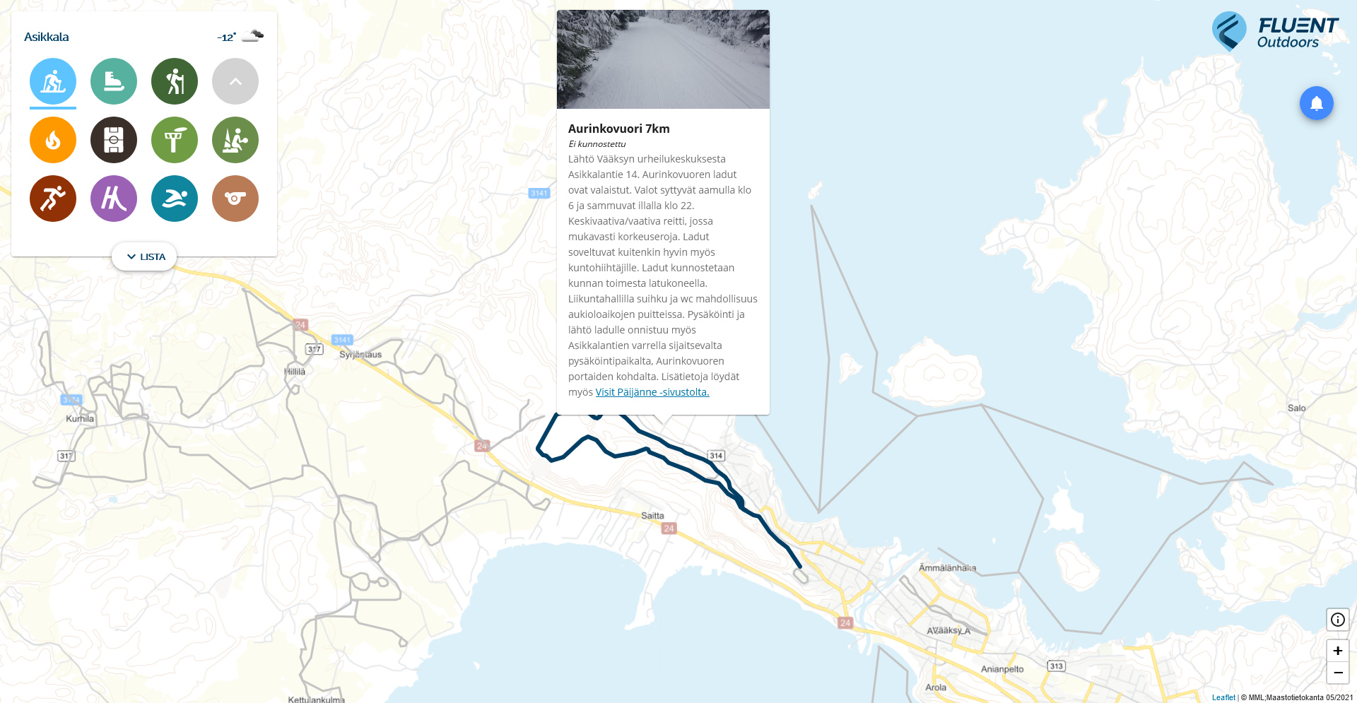
Fluent Outdoors is an aggregating map and geospatial information service that allows municipalities and cities to bring all location information about sports, camping and tourism as well as up-to-date maintenance information to one place, thus making it easier for both locals and tourists to transact in their area. Fluent Outdoors is already used by more than 80 municipalities in Finland.

A map service that is always up to date
Fluent Outdoors offers municipalities and cities one explicit place to tell about sports, camping and tourism services in the area.
Fluent Outdoors is designed to be user-friendly: it always travels with its user and helps users plan routes, for example. The service also locates the user, so they always see their own location in real time.
What makes Fluent Outdoors superior is the possibility of real-time maintenance information, which not only improves the maintenance of the objects, but also improves user satisfaction. The maintenance information is automatically updated, for example, from the snow groomer or from the maintainer’s mobile application included in the maintenance of the service. Maintaining the maintenance situation does not burden the management, and the information is always up-to-date. In addition, users can easily report through the service if they notice maintenance needs.

Location information, maintenance information and public announcements in the same place
The Fluent Outdoors map service can be used, for example, to display ski tracks, mountain bike trails, beaches and attractions and their maintenance information.
In addition to location information, it is possible to add to the service, for example, object-specific image files, more detailed descriptions or additional information links to help the user.
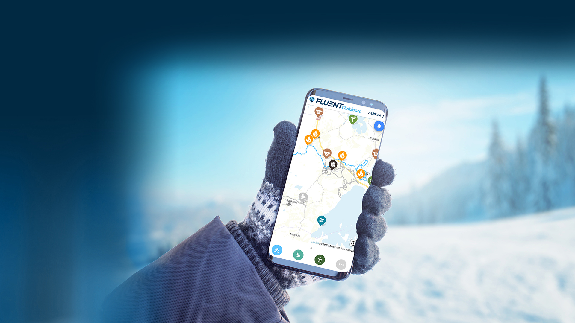
The service is optimized for both web browsers and mobile devices, and 90 percent of the service’s users are mobile users.

Visitor counters and other data collection devices at your disposal
You can also use automatic data collection devices from us, with which you can measure valuable information about sports, camping and tourism destinations and bring the information to Fluent Outdoors for the end user to see.
We can deliver a number of data collection devices suitable for different purposes to be connected to the service: visitor counters are conveniently suitable for measuring the number of visitors to hiking trails or snowmobile routes, water temperature gauges provide information on the temperatures of swimming waters, and vibration sensors measure, for example, the degree of use of frisbee golf on throwing platforms.
Collected information can also be used when applying for various grants, for example for renovation work on sites.
Features of Fluent Outdoors
Real-time positioning and guidance of the user
Up-to-date collection of maintenance information
An opportunity for real-time feedback and error messages
Optimized for web browser and mobile devices
Drawing routes and updating destinations also for other services
Get to know Fluent Outdoors
Fluent Outdoors is already used by more than 80 municipalities in Finland. In addition, the system can also be used by, for example, private tourism promotion companies and ski resorts.
We have also launched the Finland Outdoors service, which brings together all our customers, and is used by thousands of users all over Finland. Is your area already in Finland Outdoors?
By clicking the links below, you can test what the Fluent Outdoors service looks like in practice!
Become a pioneer
Do you want to hear more about the possibilities Fluent Outdoors offers or test the service in practice?
Leave a contact request using the form below, and we will contact you as soon as possible. If you wish, you can also call Mikko directly – we will be happy to answer any questions you may have.
Outdoors -Contact us!
In collaboration: 


